NextGen transformation requires streamlined data communications capabilities and the ability to manage the efficient flow of information through the National Airspace System (NAS). That is where System Wide Information Management (SWIM) comes in. SWIM is the platform that shares up-to-date and identical information among pilots, air traffic controllers, airline dispatchers, military, government agencies, and other users of the NAS. SWIM also processes information from different kinds of systems, such as airport operational status, weather information, flight data, status of special use airspace and airspace system restrictions.
By establishing the common processes and infrastructure needed for NextGen systems interoperability, SWIM will provide the flexible and secure information management architecture necessary for information sharing. It uses commercial, off-the-shelf hardware and software to support a service-oriented architecture that facilitates the addition of new systems and data exchanges.
SWIM is being implemented in segments. Core services will be added as required to support the implementation capabilities associated with the segments. SWIM core services will enable NAS users to request and receive location-specific information when they need it. Enables cost-effective, real-time data exchange and sharing among NAS users.
- Part of an interagency effort to provide users of the NAS with quick and easy, cost-effective access to timely, accurate weather information
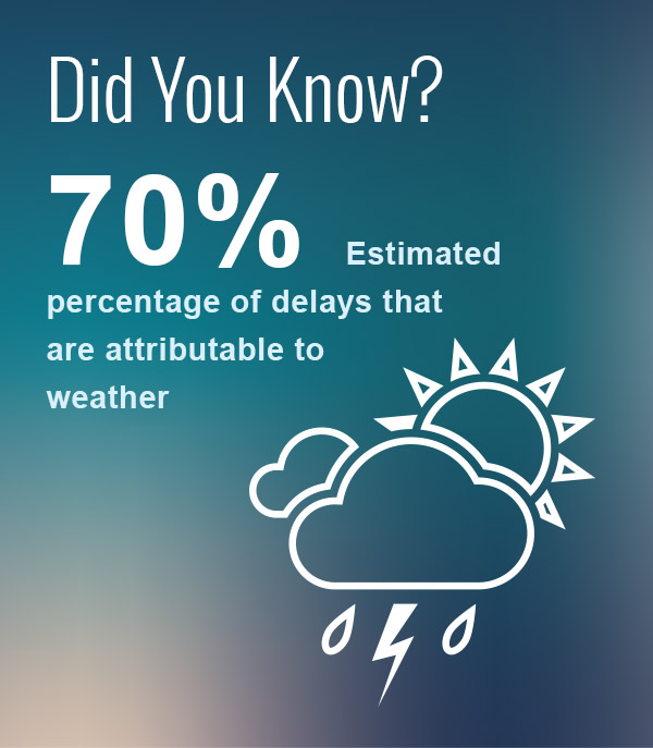
- Through the sharing of common weather data, NextGen Network Enabled Weather (NNEW) will enhance safety and support collaborative decision-making
- Creates a 4D weather cube
- Attempt to improve 1- to 2-hour range forecast
- 4D Wx Cube
- Improved weather information data storage approach containing observation and forecast data
- Continuously updated weather from the surface to low-earth orbit, including space weather and ocean parameters
- Four dimensions are three spatial dimensions plus time
- Predictive Wx
- Particularly convective forecasts that have mainly been designed for, and made available to, ATC and airline dispatchers on the ground for tactical and strategic planning purposes
- Operators and traffic managers have immediate access to identical weather information through one data source
- NAS Enterprise Messaging Service (NEMS)
- The system that will facilitate SWIM
- Net-centric means of transferring flight data to trusted users of NAS data
- Info disseminated in a publish-and-subscribe method
- Also connected to ASDE-X and SWIM
- An air traffic control automation system
- Receives and processes target reports, weather, and other non-target messages from both terminal and en-route digital sensors
- The system that will facilitate SWIM
- Net-centric means of transferring flight data to trusted users of NAS data
- Info disseminated in a publish-and-subscribe method
- Also connected to ASDE-X, CSS-Wx
- A single set of scalable voice switches that can support a dynamic flow of air traffic
- Data Link (CPDLC)
- Means of communication between controller and pilot
- Provides air-to-ground data communication for the ATC service
- Used for display and control throughout oceanic airspace
- Fully integrates flight and radar data processing
- Detects conflicts between aircraft
- Provides satellite data link communications and surveillance capabilities
- Automates the manual processes used today
- Sequences aircraft to capacity-constrained airports
- Calculates precise time of arrival for aircraft by assigning an arrival slot
- Currently unreliable during inclement weather (turned off by controllers)
- Legacy system, deployed to all contiguous U.S. Air Route Traffic Control Centers
- Strategies to control the flow of flights arriving into highly congested terminal airspace at selected airports
- Also part of Procedures
- Leverages capabilities of Traffic Management Advisor (TMA)
- Backbone of the NAS: processing flight radar data, providing communication support, and generating displays data to air traffic controllers
- Shift from radio and ground-based surveillance to data link and satellite surveillance
- An air traffic control automation system
- Receives and processes target reports, weather, and other non-target messages from both terminal and en-route digital sensors
- Initiative to upgrade the processors and monitors in all existing (Legacy) Standard Terminal Automation Replacement System (STARS) facilities with the new G4 processors and LCD Monitors known as MDM
- Data structure to support the interchange of flight information through all phases of flight
- Includes everything about the flight and flight plan
- Previously Enhanced Tracking Management System (ETMS)
- Data exchange system for supporting the management and monitoring of national air traffic flow
- TFMS processes all available data sources, such as flight plan messages, flight plan amendment messages, departure and arrival messages
- The FAA’s airspace lab assembles TFMS flight messages into one record per flight
- TFMS is restricted to the subset of flights that fly under Instrument Flight Rules (IFR) and are captured by the FAA’s en route computers
- Most VFR and some non-en route IFR traffic is excluded
- Enhances reliability and predictability of operations, leading to increased throughput
- Improves efficiency and flexibility by increasing use of operator-preferred trajectories NAS-wide at all altitudes
- Performance Based Navigation (PBN)
- Provides multiple precise diverging departure paths that will get aircraft off the ground and heading toward destination faster
- More direct high-altitude routes between two or more metroplexes
- Shorter and more precise flight paths
- Area Navigation (RNAV)
- Uses the Global Navigation Satellite System (GNSS) to create more precise and efficient flight routes
- Required Navigation Performance (RNP)
- Utilizes Global Navigation Satellite System (GNSS) in conjunction with aircraft monitoring equipment (Flight Management System – FMS) to alert pilot when aircraft deviates from planned route
- Electronic information management device that helps flight crews perform flight management.

